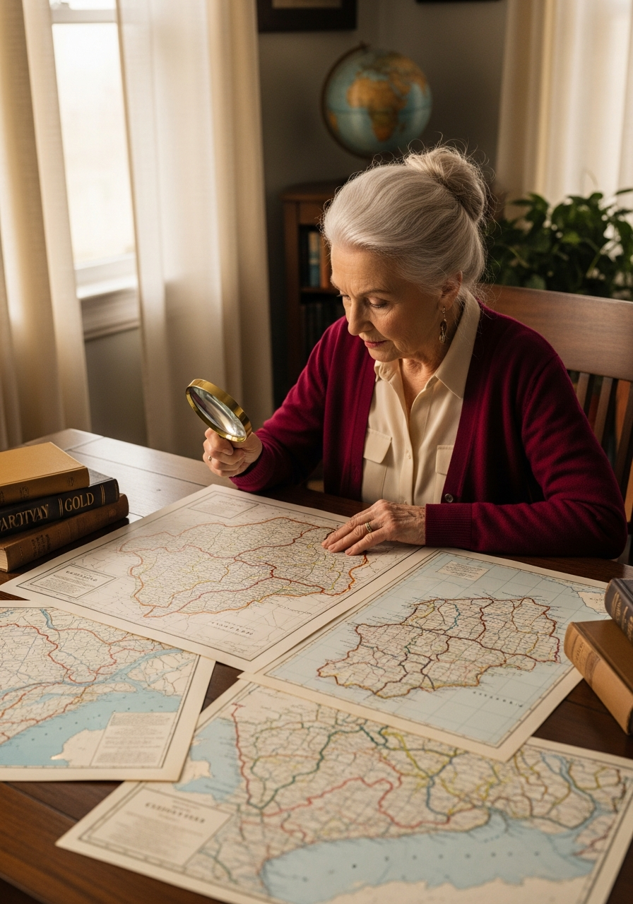
Mission 18: The Shifting Map — Historical Geography, Gazetteers & Boundary Changes
Why Your Ancestor’s County Disappeared (and Where the Records Went)
A researcher in western Virginia spent two weeks searching for her ancestor’s land deed in Tazewell County. She had the name, approximate date, and legal description. Everything pointed to Tazewell. She checked the county clerk’s index three times.
Nothing.
Then someone asked a simple question: “What year are you looking for?” When she said 1873, the answer came back immediately. In 1873, the Virginia legislature carved Bland County out of Tazewell’s western half. Her ancestor’s property—the exact parcel she’d been searching for—landed on the Bland side of the new line. The records she needed were one county over, in a courthouse that didn’t exist when her ancestor bought the land.
She wasn’t bad at research. She was looking in the right place for the wrong time.
This happens more often than you’d think. County boundaries in the United States have changed over 17,600 times since colonial settlement. A family that never moved could end up in three different counties across four decades—not because they went anywhere, but because the map kept shifting underneath them. If you don’t account for historical geography, you’ll search the wrong courthouse and come up empty.
Today, we’re fixing that. Welcome to the researcher’s atlas.
Why Your Ancestor’s County Disappeared (and Where the Records Went)
Counties weren’t carved in stone. They were drawn by state legislatures responding to population growth, political pressure, and practical necessity. A frontier county that stretched a hundred miles across would eventually be split as settlers filled in the gaps and demanded a courthouse closer to home.
In western states and territories, this happened constantly during the nineteenth century. Counties were created, subdivided, renamed, and occasionally abolished within a few decades. Even in eastern states, boundary adjustments continued well into the 1900s.
The result for genealogists: your ancestor’s records may be filed under a county name that no longer exists, or in a courthouse built after the events you’re researching. The land didn’t move. The filing cabinet did.
When a county split, records generally stayed with the parent county for events before the split date. The new county started fresh, keeping records from the split date forward. But this wasn’t universal—some states transferred older records while others didn’t. There’s no single rule. Check both.
Your Essential Toolkit
Three free resources solve most historical-geography problems.
The Atlas of Historical County Boundaries is the definitive resource. Published by the Newberry Library, it documents every U.S. county boundary change from the colonial era through 2000—dated to the exact day, with primary-source citations. Enter a date to see which county covered a location at that moment.
Gazetteers are dictionaries of past and present place names with geographic coordinates and historical context. The USGS Geographic Names Information System is a large free database for U.S. place names, including historical names for towns, townships, and geographic features. FamilySearch’s state-by-state Wiki pages also explain historical place names and jurisdictional changes. When an old record names a town you can’t find on a modern map, start with a gazetteer.
Sanborn fire insurance maps provide a different kind of detail. Created between 1867 and 2007 for roughly 12,000 U.S. towns and cities, these maps show individual buildings, construction materials, uses, and street addresses. They won’t locate a county boundary, but they can place an ancestor in a specific neighborhood. The Library of Congress hosts the largest free digitized collection.
The Five-Step Jurisdiction Check
When records aren’t where you expect them, work through this sequence.
First, confirm the modern county where your ancestor lived. Use a current map and the location details you have—a town, township, or geographic feature.
Second, check the Atlas of Historical County Boundaries for the date you’re researching. Was that location in the same county then? If not, which county covered it?
Third, determine where the records went. Check the FamilySearch Catalog for both the modern and historical counties. Search for the record type you need under each county name.
Fourth, check the state archives. Many states received older county records, especially from counties that were abolished or consolidated. The archives may hold originals or microfilm copies no longer at the courthouse.
Fifth, verify historical place names. If a town or township from an old record doesn’t match a modern map, search GNIS or a state gazetteer. The place may have been renamed, absorbed into a larger municipality, or faded from the map.
Your Mission
Pick one ancestor whose county of residence you know from census or land records. Use the Atlas of Historical County Boundaries to check whether that county had the same name and boundaries during your ancestor’s lifetime. If the boundaries changed, note which parent county held the territory before the split. Then search the FamilySearch Catalog under both county names.
You might discover you’ve been looking in the right place all along. Or you might find that the records are one county over—waiting in a courthouse built after your ancestor was already gone.
Granny says: “The map isn’t as fixed as it looks, love. Counties split. Lines moved. Courthouses opened and closed. Your ancestor stayed put—but the paperwork didn’t. Learn where the lines were drawn, and you’ll know where the records landed. That’s not a setback. That’s a clue.”