Mission 16: Staking Your Claim — Land Records and the Dirt Your Ancestors Stood On
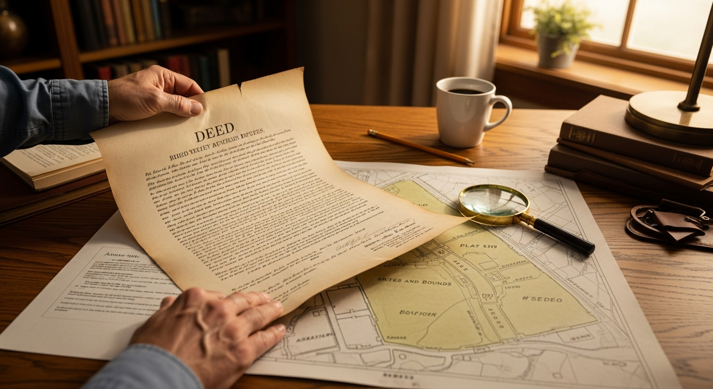
I once traced a property deed—dated 1798, filed in a county courthouse in Virginia—that described one boundary line as running “from the large white oak to the pile of stones near where John Miller’s cow was struck by lightning.”
That cow has been dead for over two hundred years. It’s still a legal landmark.
That’s the thing about land records. They’re specific in ways that no other genealogy source can match. Not just names and dates, but the actual ground your ancestor walked on—the creek, the oak tree, the neighbor’s fence line, and apparently, the occasional lightning-struck cow. Unlike census records, which come around every ten years, land records can pin an ancestor to a place and moment with documentary precision.
If you’ve been following along, you’ve already found military records that granted land to veterans and probate records that divided land among heirs. Now it’s time to trace how your ancestors got the land in the first place. Consider your claim staked. Let’s survey the territory.
Two Systems, One Country
Before you search for a single deed, you need to know which of two entirely different land systems applies to your ancestor’s state.
State Land States are the original thirteen colonies, states carved from them, Hawaii, and Texas. In these states, land was originally granted by a colonial or state government—not the federal government. Property is described using metes and bounds: compass directions, distances, and natural landmarks. “Beginning at the large white oak stump on the south bank of the creek, thence north forty degrees east one hundred and twenty poles to a pile of stones…” It reads like hiking directions written by a lawyer. These descriptions can be frustrating, but they name the neighbors. “Thence along the line of James Parker’s land” tells you exactly who lived next door.
Public Land States are the thirty states where the federal government surveyed and sold or gave away the land. These states use the township and range system—a rigid grid dividing the landscape into townships, ranges, and sections. A legal description looks like: “the northwest quarter of Section 14, Township 3 North, Range 2 East.” It’s precise, numerical, and lets you plot your ancestor’s exact location on a map. No oak stumps required.
State Land States give you poetry; Public Land States give you coordinates. Both are useful. You just need to know which one you’re working with.
The Records That Matter
Federal land patents are the big prize in public land states. A patent transferred land from the U.S. government to a private citizen for the first time—through purchase, homestead, military bounty warrant, or another means. Search patents free at the Bureau of Land Management General Land Office Records. If you find one, note the legal description and consider ordering the case file from the National Archives. Homestead case files can contain proof of citizenship, neighbor testimony, and descriptions of the house, barn, and crops. For immigrant ancestors, the required citizenship evidence can link directly to an immigration story.
Deeds record land transfers between private individuals and exist in every state. Deeds are recorded at the county courthouse and organized into grantor (seller) and grantee (buyer) indexes. Always search both. If your ancestor appears as a grantee in 1845 and grantor in 1862, you’ve established a seventeen-year window when they lived in the county. Deeds also name witnesses, state purchase prices, and often require the wife’s signature for dower release—potentially preserving a woman’s name that appears nowhere else.
Tax records are the sleeper hit of land research. Every year, the county assessed property taxes, creating an annual list of who owned or occupied land and what it was worth. Tax records fill the ten-year gaps between censuses and can identify the exact year an ancestor arrived in or left a county. Many have been microfilmed and are available through the FamilySearch Catalog.
Reading the Map
Land records connect to everything you’ve already learned.
Cluster research taught us that ancestors didn’t live in isolation. In metes-and-bounds descriptions, adjacent landowners are named directly. In township-and-range states, you can map surrounding sections to identify who owned the land next door. Either way, land records give you the FAN club—friends, associates, and neighbors—in geographic form.
Military research may reveal a bounty land warrant. Those warrants were often sold rather than used by the veteran, so tracing ownership can reveal family connections or economic networks.
If a probate record mentions land, deed records show the property’s full history—who bought it, who sold it, and how it entered the estate.
The FamilySearch Catalog is your starting point for county-level records. Search by county and state, then browse “Land and Property” for deed books, tax lists, and surveys. For public land states, start with the BLM database.
Your Assignment
First, determine whether your ancestor’s state is a State Land State or Public Land State. Then do one of two things: for a public land state, search the BLM General Land Office Records for your ancestor. For a state land state—or to find deeds anywhere—search the county in the FamilySearch Catalog and browse land and property records.
One deed. One patent. One tax list. That’s your claim. Stake it.
Granny says: “People move. Families scatter. But the land stays right where it was—and so do the records. If you want to know where your people stood, start with the dirt under their feet.”